
www.industry-australia.com
20
'26
Written on Modified on
Location Intelligence Integration for Rural Emergency Response
HERE Technologies and NSW RFS integrated 60,000 kilometers of off-road trail data into emergency routing systems to enhance rural navigation accuracy.
www.here.com
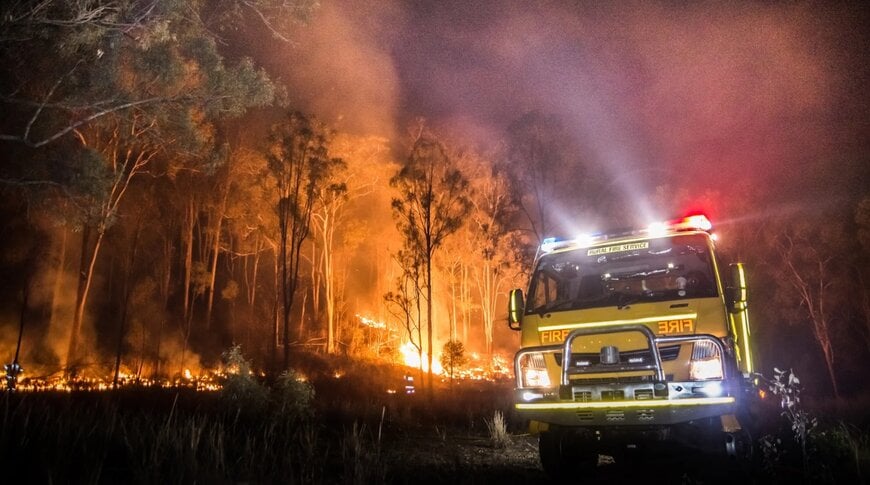
HERE Technologies and the New South Wales Rural Fire Service (NSW RFS) collaborated to integrate non-standard road networks into public safety digital infrastructure. The deployment addresses emergency navigation across remote and rural environments in New South Wales, Australia.
Operational Challenge and Strategic Rationale
NSW RFS manages emergency operations across approximately 95% of New South Wales, responding to bushfires, grass fires, severe weather, search-and-rescue tasks, and vehicular incidents. Standard vehicle navigation systems rely primarily on public road networks and exclude unpaved operational pathways. A significant volume of rural emergency response routes relies on private roads, fire trails, and unclassified off-road tracks. Integrating these fragmented datasets into standardized routing systems requires location data engineering and specialized geospatial intelligence.
Technical Solution and Responsibilities
The partners established a unified routable map network by combining HERE Technologies road network data with NSW RFS operational mapping assets. NSW RFS provided geographic intelligence and access data for remote trail networks. HERE Technologies processed and integrated this information using its mapping platform to deliver a single topological navigation network.
The system incorporates over 60,000 kilometers of fire trails, private roads, and specialized access corridors. The resulting dataset links directly into existing digital infrastructure, specifically Computer Aided Dispatch (CAD) systems and in-vehicle Mobile Data Terminals (MDT). The unified map provides point-to-point off-road routing calculations, taking into account vehicle-specific requirements for heavy fire appliances.
Implementation and Field Application
The integrated mapping data operates within CAD and MDT systems to assist emergency dispatchers and operational crews. During an incident, CAD systems calculate travel paths using both standard public roads and authenticated fire trails. In-vehicle MDT interfaces present dynamic route guidance directly to frontline drivers, reducing routing ambiguity in complex terrains.
Strategic Insights
"Emergency response depends on having the most accurate picture of the landscape possible," said Daniel Antonello, General Manager, Oceania, HERE Technologies. "Many of the routes used by emergency services every day are not conventional roads. By combining HERE's AI-powered location technology with NSW RFS' operational intelligence, we're helping create a more complete and actionable view of the road and trail network, enabling responders to search, locate and respond with greater confidence when every second counts."
"Fire trails are a critical part of how we access and manage incidents across New South Wales," said RFS A/Director, ICT and Chief Information Officer Matthew White. "By bringing together our operational knowledge with HERE's mapping technology, we're building a richer and more comprehensive representation of the access network our crews rely on every day. This helps improve situational awareness and supports more informed decision-making in the field."
The joint mapping architecture was presented at the AFAC26 conference in Sydney, Australia, highlighting the operational use of location data integration for emergency dispatch and incident response.
Edited by Evgeny Churilov, Induportals Media - Adapted by AI.
www.here.com
